Given all the building and development over the last few years, is this the future of Roslyn, WA?
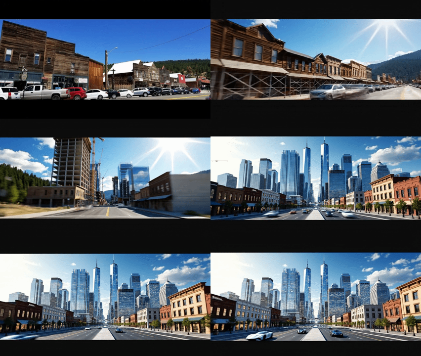
Roslyn, Washington has been a slow-growth town for most of its post-coal history. That is changing. New construction, land purchases, and zoning activity in and around Roslyn have accelerated in the recent years, and the questions residents are asking — about infrastructure, access, and who the town is being built for — do not yet have clear answers.
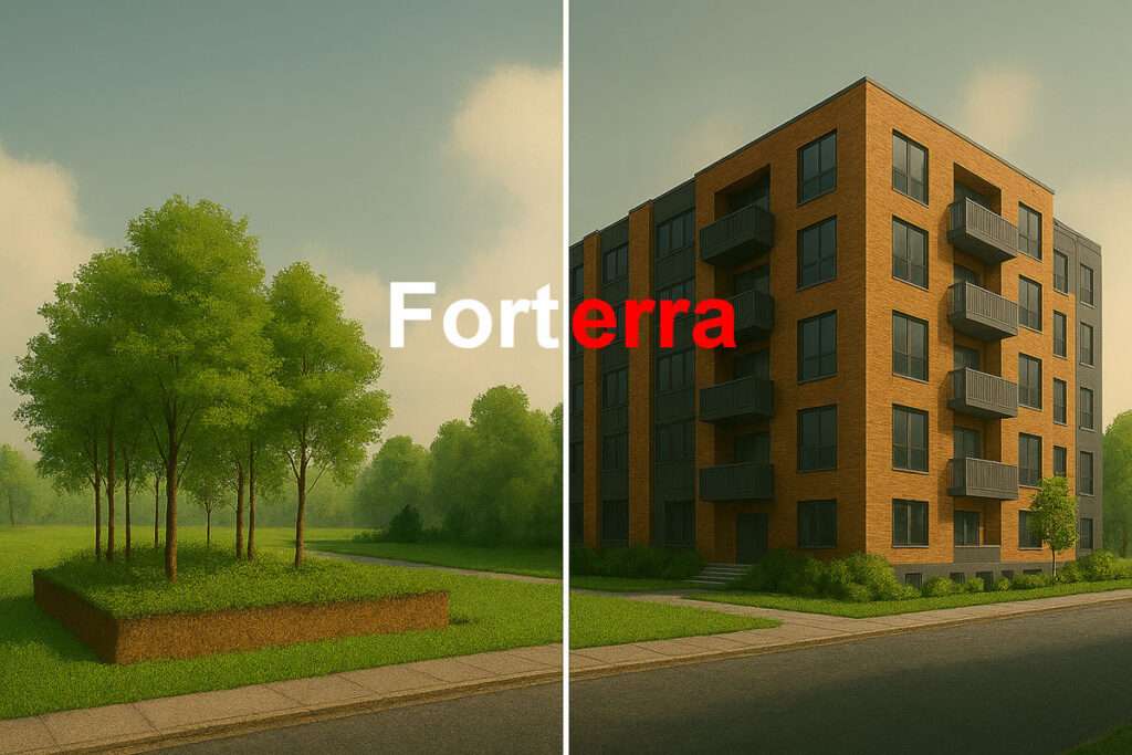
The Forterra Land Purchase — 30 Acres Near Roslyn
Forterra, a Pacific Northwest land conservation nonprofit, purchased 30 acres in the Upper Kittitas County area behind the City Hall in Roslyn, WA
This is also know as the Number 4 Mine remediation
What the Historic District Means with New Construction
Roslyn is listed on the National Register of Historic Places and designated a National Historic Landmark, recognizing it as one of the best-preserved coal mining towns in the United States. [revisitwa.org]
The historic district dates back to Roslyn’s founding in the late 1800s, when it was developed as a company town to support coal mining for the Northern Pacific Railroad.
Unlike some towns where only a few buildings are protected, Roslyn’s designation covers most of the original townsite, preserving its overall layout and character.
SR-903 Is Still the Only Road In or Out
Every resident, visitor, and construction truck entering or leaving Roslyn uses SR-903. There is no alternate paved route.
That fact does not change as the town grows. More housing units means more daily vehicle trips on a two-lane highway that already carries significant recreational traffic in summer and is subject to winter closures and wildfire evacuation orders.
Go here for more info about SR-903 evacuation capacity and new developments.
More info: Roslyn Forterra: 30-Acre Land Purchase